


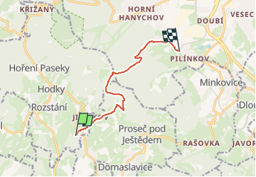

4,6 km | 5,9 km-effort

Tous les sentiers balisés d’Europe GUIDE+


Gratisgps-wandelapplicatie
 SityTrail
IGN / Geografische instituten
SityTrail World
De wereld gaat voor u open
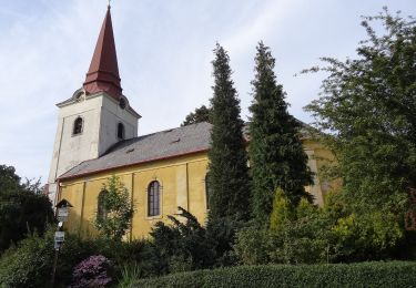
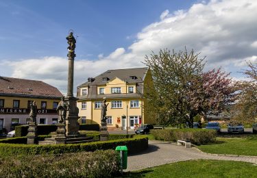
Tocht Te voet van 7,5 km beschikbaar op Noordoost, Liberecký kraj, Světlá pod Ještědem. Deze tocht wordt voorgesteld door SityTrail - itinéraires balisés pédestres.
Tocht aangemaakt door cz:KČT.
dne 2014-12-07 značky jen na cedulích, ne podél cesty


Te voet
Te voet
Te voet
Te voet
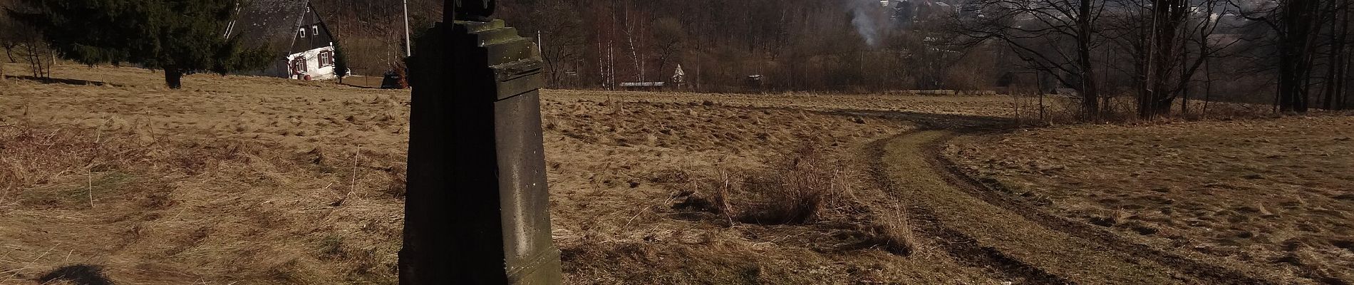
![Tocht Te voet Kryštofovo Údolí - [M] Výpřež - Novina - Photo](https://media.geolcdn.com/t/375/260/71803f80-2c0c-496d-ad1d-7e0e8f6a53b1.jpeg&format=jpg&maxdim=2)
Te voet